From data to impact
Urban 3D models and BIM-GIS Integration
The transformation of data into housing and social assets.
Do you manage territory, infrastructure or urban projects?
We show how to transform 3D data into knowledge and smarter decisions.
We not only generate 3D models: we accompany you throughout the entire process, from capture to intelligent visualization of your data.
Urban 3D models
The ideal context for your project, with the information you need and with the geometric precision that will facilitate communication and exchange of information with the public administration.
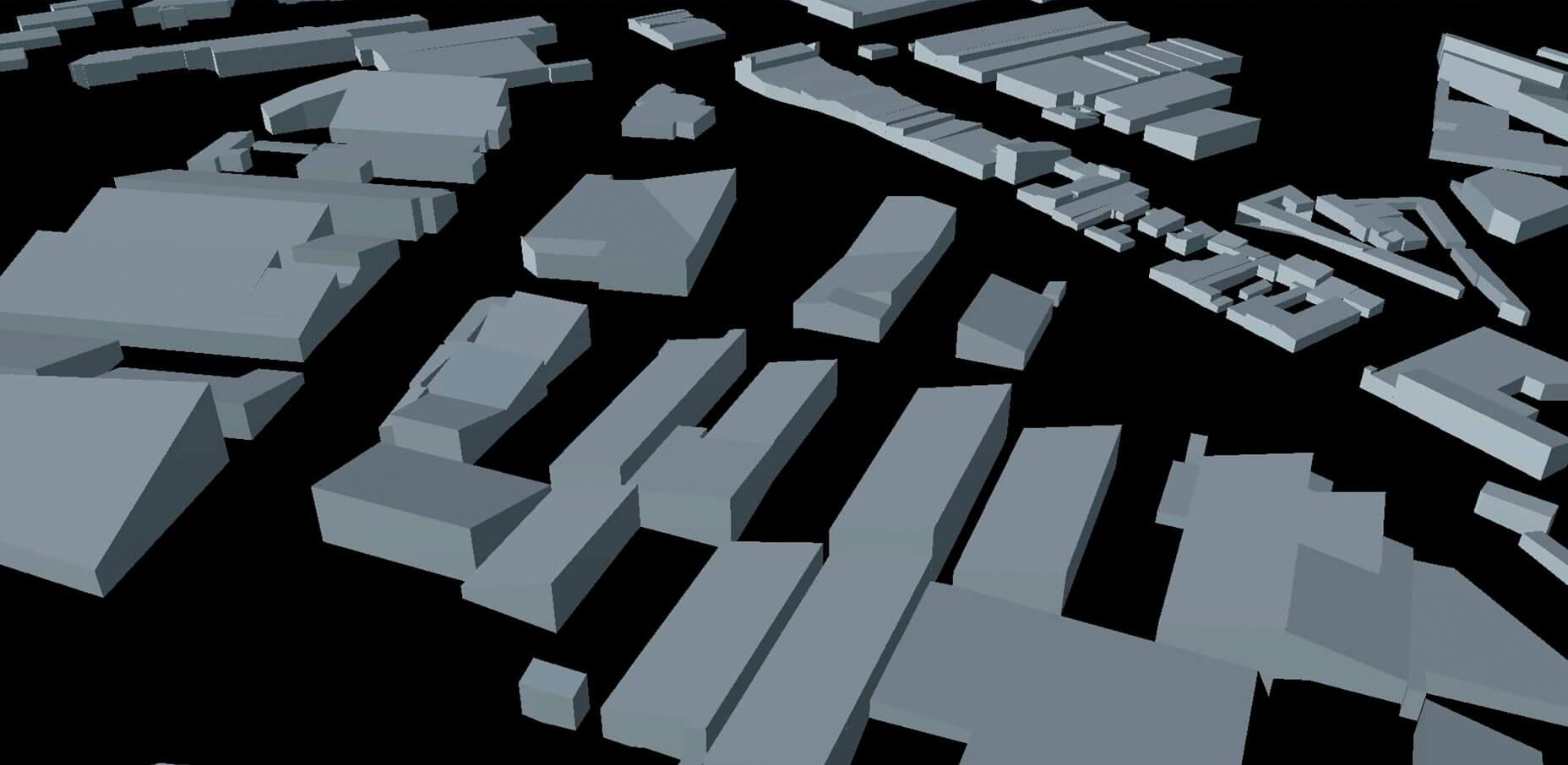
Spain basic 3D
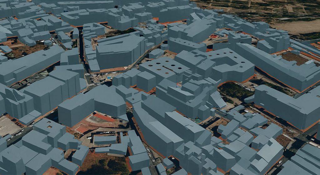
- Level of detail: LOD1, blocks that represent the building envelope
- Coverage: all municipalities in Spain
- Availability: 24-48 hours
- Price per Km2
- Delivery formats: IFC, CityGML, OBJ, 3D tiles, I3S/SLPK
Ideal for: planning, energy studies or integration in BIM environments.
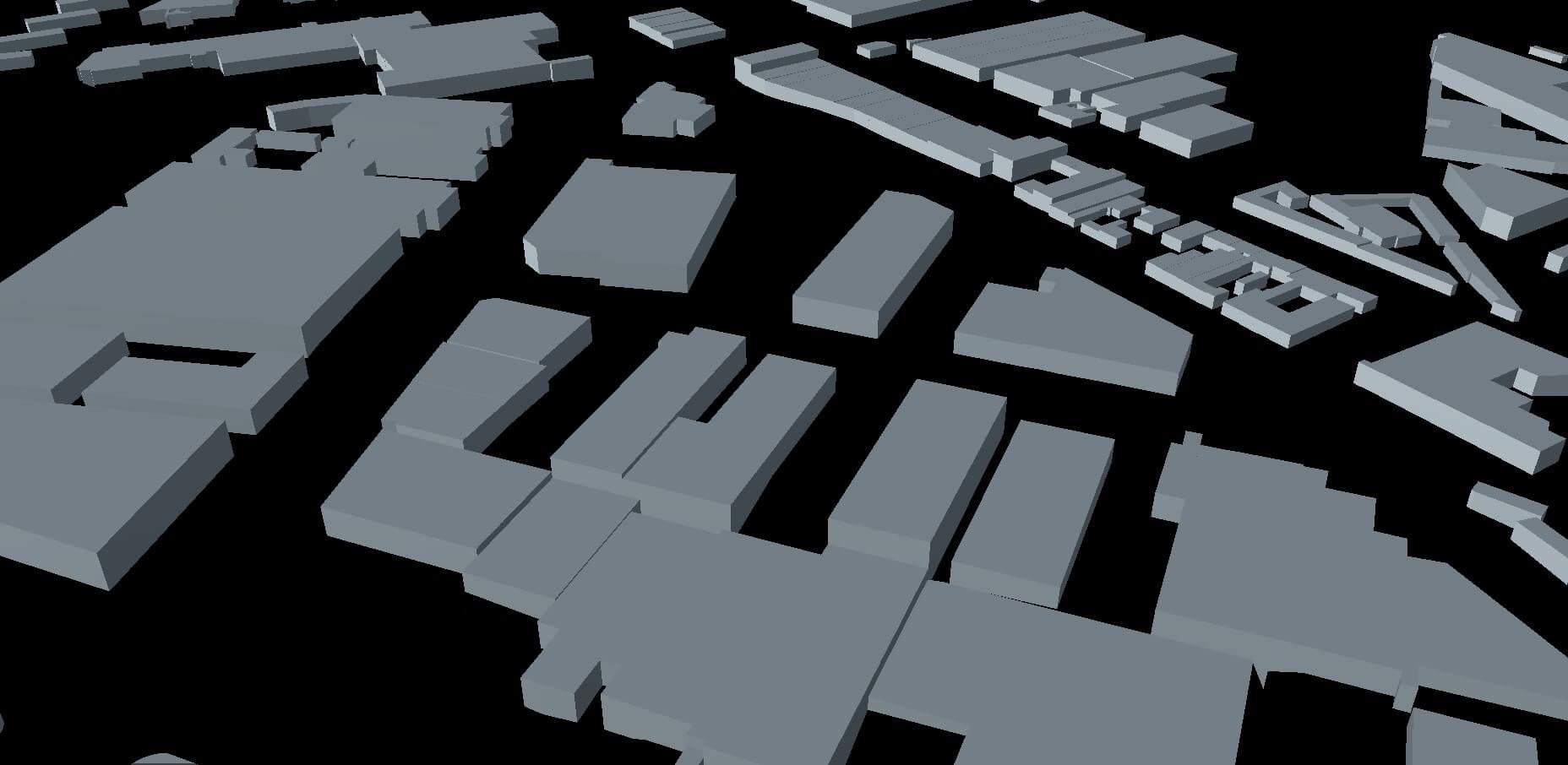
Spain advanced 3D
- Level of detail: LOD2, detail of the main roofs of each building
- Coverage: all municipalities in Spain
- Availability: 24-48 hours
- Price per Km2
- Delivery formats: IFC, CityGML, OBJ, 3D tiles, I3S/SLPK
Ideal for: advanced simulations and analysis.
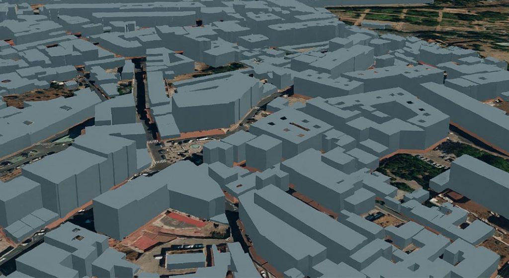
Realistic 3D Spain
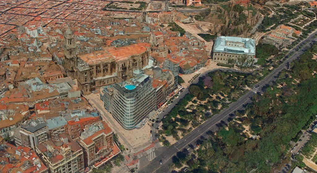
- Level of detail: photorealistic
- Coverage: +200 urban areas
- Image resolution: 7.5 cm GSD
- Availability: consult
- Price per Km2
- Delivery formats: 3DML, 3D Tiles, DAE, OBJ, OSGB, I3S/SLPK, LAS/LAZ
Ideal for: dissemination of new projects.
BIM-GIS integration
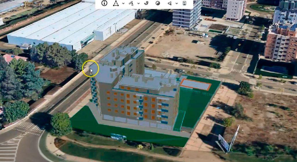
Integrate your BIM project into its real context.
We transform your GIS data into BIM and help you visualize everything online, without expensive installations or licenses.
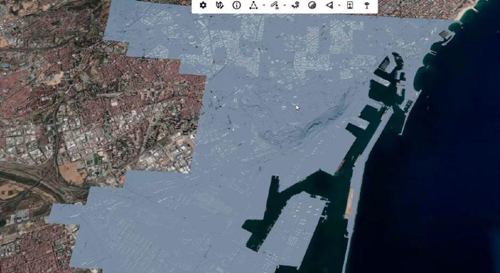
We convert GIS data to BIM format so you can easily incorporate it into your preferred BIM modeling software.
View your project information on the web and incorporate external data sources easily.
Use our online tools to show your project to your client or team members without having to pay for expensive software licenses or use high-performance computers.