
We convert geospatial data into solutions for your business
Geospatial technology allows you to capture, measure and analyze data with high precision.
3D GEOSPATIAL INNOVATION
Geospatial technology allows you to obtain, in a simple and precise way, a wide variety of information:
Create 3D maps, make measurements and specify coordinates, capture images, track and compare evolutions, etc.


Simple and
cost-effective solutions for all sectors.
The applications
are almost endless

∙ 3D Modeling of Land and Structures
∙ BIM-GIS integration
∙ Digitized asset management
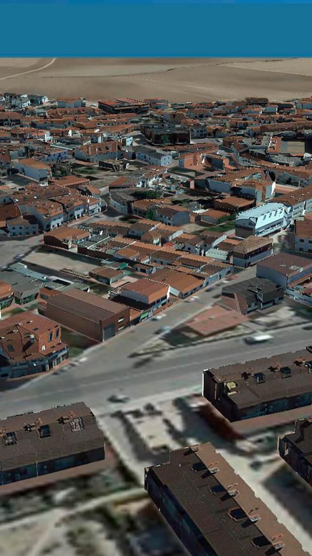
∙ 3D representations of plots and buildings
∙ Impact simulation
∙ Efficient urban growth planning
∙ Large Developers and Construction Companies
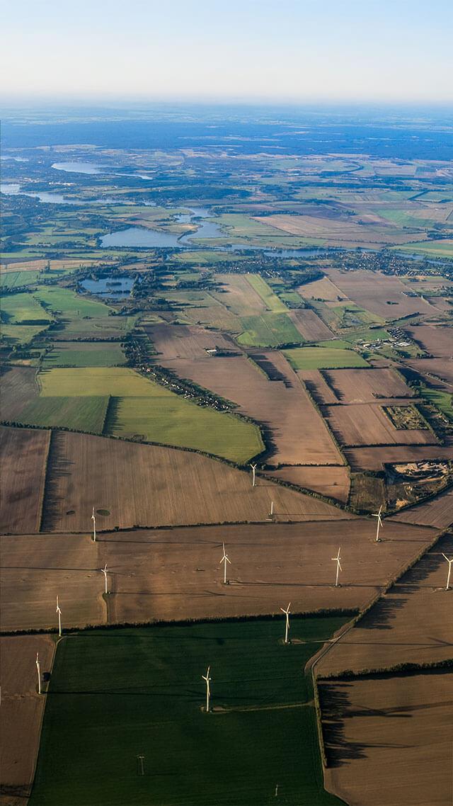
∙ 3D representations of plots and buildings
∙ Impact simulation
∙ Efficient urban growth planning
∙ Large Developers and Construction Companies
More than 10 years of international experience, which we now put at your disposal
SOLUTIONS FOR SMALL AND MEDIUM ENTERPRISES
We have traditionally collaborated with large corporations and public bodies, and now we are committed to demonstrating that small and medium-sized businesses can also benefit from our solutions, optimizing processes, reducing costs and making more informed decisions.
Boost your project with all the potential of our tools
MAKE US A MATCH
We make the difficult easy
SAVE TIME AND MONEY
- Scalable and accessible solutions for companies of any size.
- Constant monitoring and updating of data.
- 3D models that allow problems to be foreseen before the execution of a project
- Real and updated information to minimize uncertainty
