
3D GIS software to process and visualize information.
In our company we are specialists in 3D geospatial technology. We are dedicated to developing and providing software that allows you to accurately manage, visualize and analyze data in three-dimensional environments.
We know that each project is unique, that is why we create tailored solutions that adapt to the needs of each client. In addition to our own innovative software, we also distribute tools from industry-leading vendors through strategic agreements.
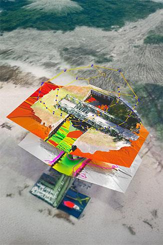
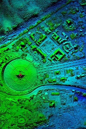
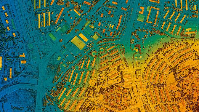
GEOSPATIAL SOFTWARE
The best tools to work in the 3D world
Whether with custom developments, with our flagship software or with prestigious brands that we represent, we offer the best tools to explore and work in the world 3D.
Our products

Obliquo Cloud: 3D mapping without limits, without complications
Obliquo Cloud is a 3D geospatial mapping platform that allows users to move from server-based applications to web-based solutions without having to invest in data storage facilities or worry about data security.

Skyline: transform your city into a digital twin
Transforms aerial and terrestrial photographs and Lidar collections into urban-scale digital twin models with advanced color balance and high-quality texturing, in a range of 3D mesh and point cloud formats.