Geospatial AI
When artificial intelligence joins geospatial intelligence, a world of possibilities opens up.
GEOSPATIAL AI
Services and solutions based on artificial intelligence and geospatial data.
Geospatial data, crucial to understanding our world, has found a powerful ally in artificial intelligence (AI). AI-based services and solutions, by interpreting this data, open doors to innovative applications: from urban planning and environmental management to the optimization of transport routes and the prediction of natural disasters.
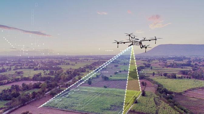
analysis beyond the map
We transform spatial data into intelligent decisions
With the combination of AI and geospatial data, decisions become more precise, analysis more detailed and possibilities infinite. Discover how the convergence of these two fields is redefining the future of territorial management and beyond.
AI VISION
If it can be seen, it can be detected
Advanced computer vision algorithms combined with artificial intelligence revolutionize the way large volumes of images are efficiently processed and analyzed.

UAV
Unmanned aerial vehicles play an increasingly important role in surveillance and inspection operations. They offer very effective results for specific studies.

Aerial image
Large format aerial images allow you to obtain valuable information in large areas, from cities to entire countries.
Mobile mapping
The images obtained at street level offer an unparalleled level of detail, providing a large amount of information.
Three-dimensional AI
Understanding 3D reality
AI-based three-dimensional sensing has revolutionary potential to transform industries and improve efficiency, accuracy and safety.
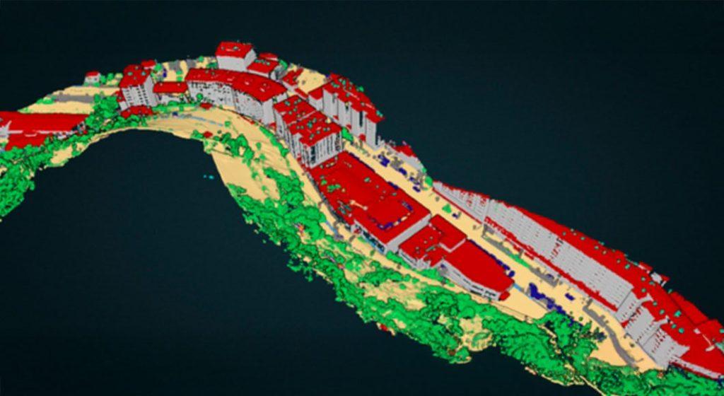
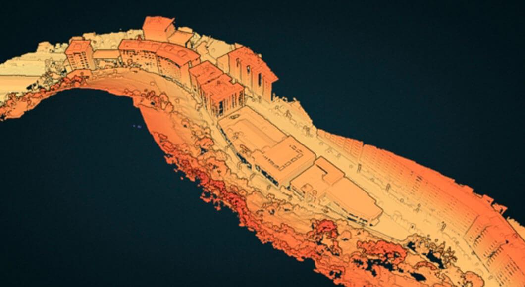
Point clouds
The LiDAR or photogrammetric point clouds contain a large amount of geometric and semantic information, very valuable for artificial intelligence applications.
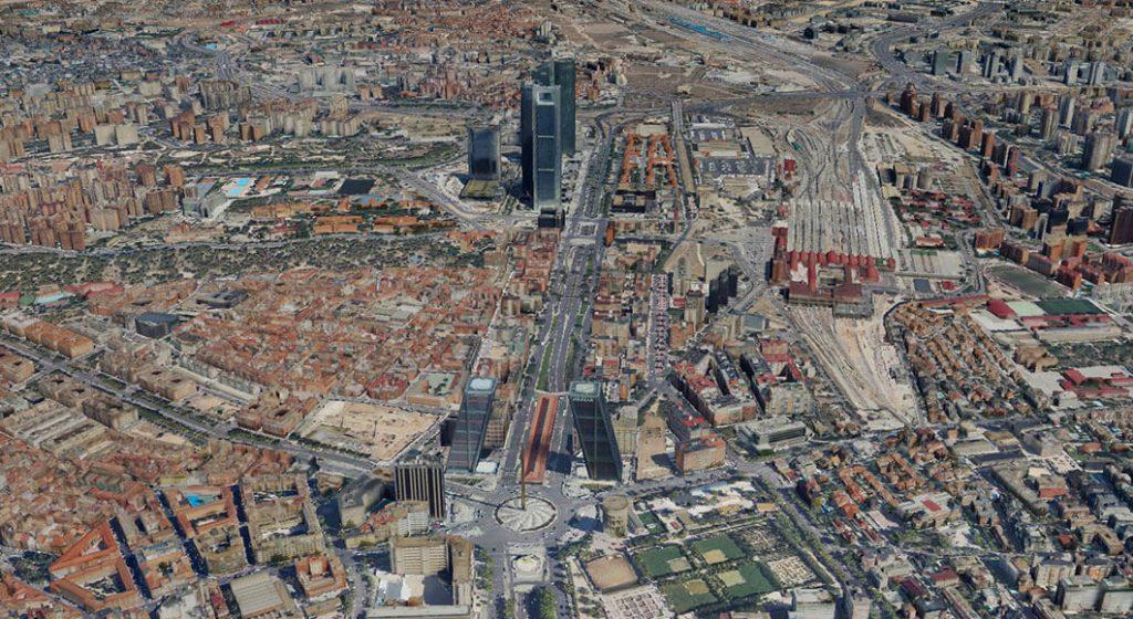
3D meshes
3D meshes allow to analyze large spatial data sets to identify patterns, track environmental changes and optimize plant use planning soil and natural resource management.
Applications
Unleash the power of geospatial information
Offers a growing number of applications using and combining multiple types of data.
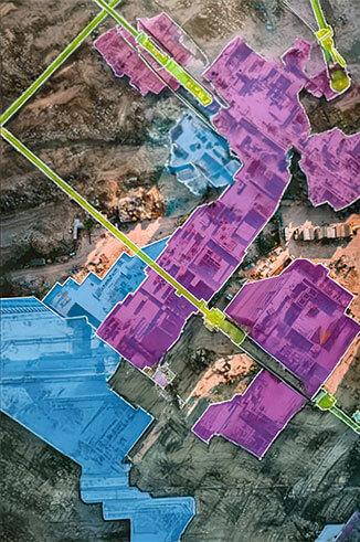
Segmentation
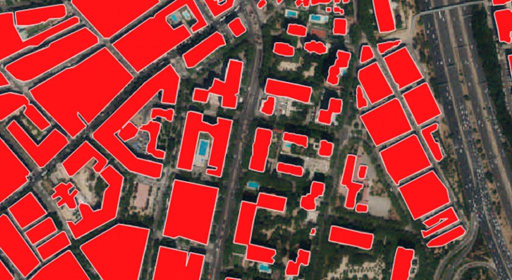
Assigns pixel-level labels to different regions of an image. Applied to geospatial data, it can help identify buildings, use patterns soil, vegetative cover or even changes over time.
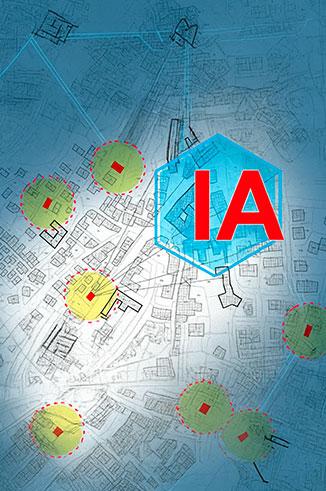
Detection
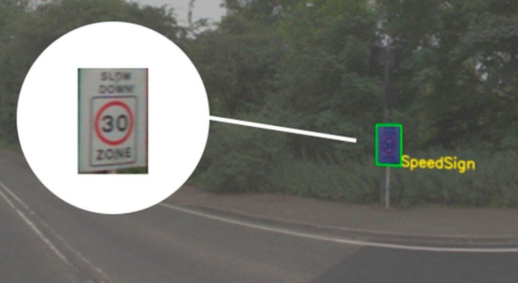
Recognizes objects and precisely locates them in the geospatial context. By detecting and delimiting individual objects, such as vehicles, trees or infrastructure elements, cities can better understand spatial distribution patterns and make decisions informed accordingly.
Change Detection
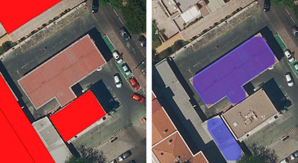
Discover and identify discrepancies in terrain objects using two (bi-temporal) or more (multi-temporal) images taken by the same type of sensor in the same geographic location. It can detect the addition or removal of buildings, which is one of the main uses for urban and public space management, map updating cadastral and detection of illegal constructions.
AI identity protection
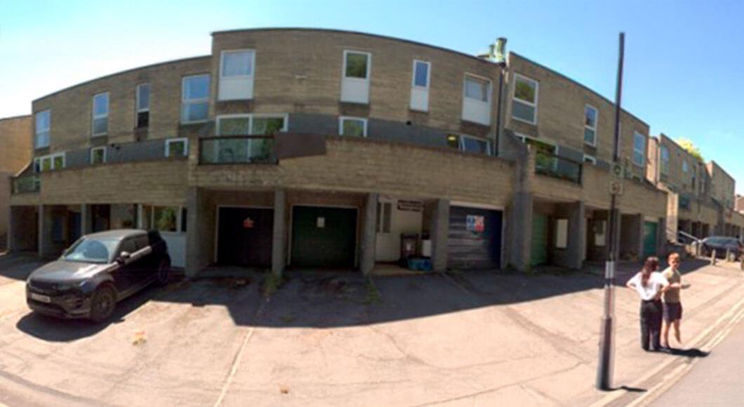
Data anonymization
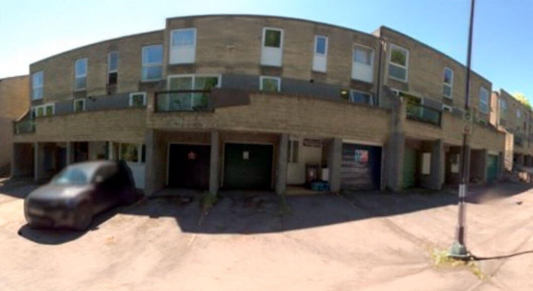
image anonymization with AI allows people's identity to be protected in a world where we increasingly share more data and photos online. Unlike basic methods such as pixelating or blurring, AI hides facial features and identifying elements, replacing them with realistic versions, maintaining the naturalness of the image.
This guarantees privacy, security and legal compliance (GDPR, LOPD), making it easy for images to be used and shared in a safe and responsible way.
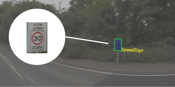
Object detection in street view images
Artificial intelligence can automatically detect objects in Street View images, such as cars, signs, people or stores. This makes data analysis faster and more accurate, without human error.
Thanks to this technology, urban planning, traffic studies or even creating geolocated marketing campaigns can be improved. In a nutshell: Street View + AI helps us understand cities better and make smarter decisions.
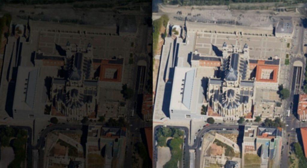
Automatic image enhancement
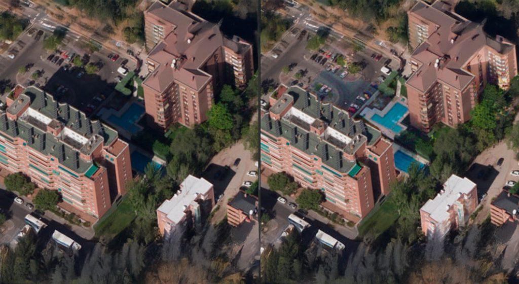
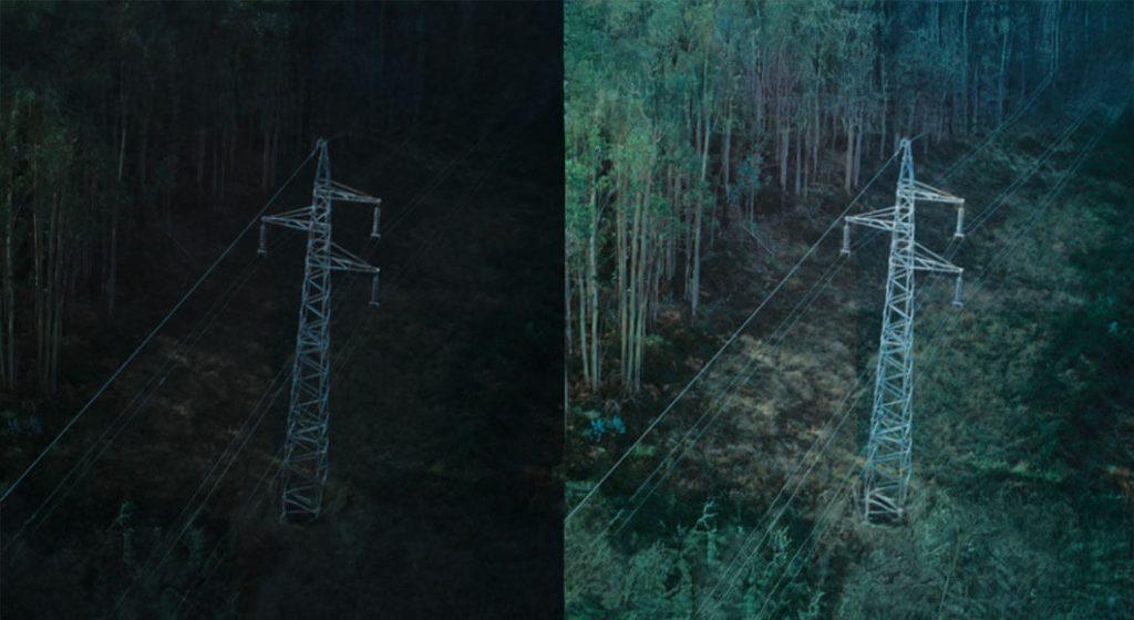
The capture of aerial images allows us to see the planet from another perspective, but sometimes the photos come out dark or with low quality due to the weather, the time or the equipment used. This is where artificial intelligence comes into play, which can automatically improve those images by adjusting light, contrast, and highlighting details that would normally go unnoticed.
Thanks to these advanced algorithms, images become clear and useful, which is essential in areas such as cartography, urban planning or environmental monitoring. Thus, what was previously a technical limitation is now transformed into an opportunity to obtain more precise and valuable information from the air.
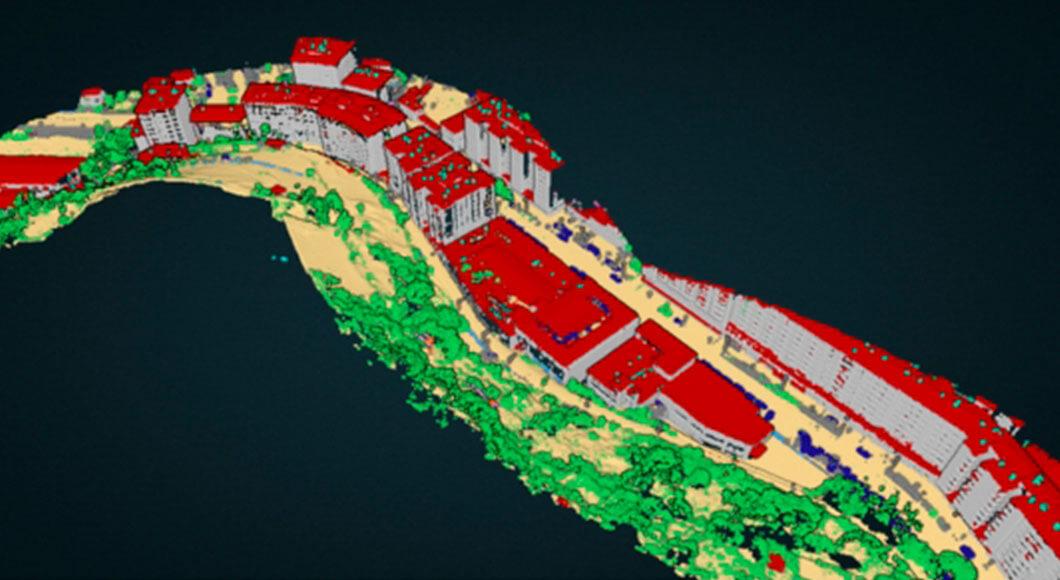
Automatic point cloud classification
civil engineering and infrastructure have taken a big leap with Lidar and photogrammetric point clouds, which offer models Detailed 3D terrain and structures. Its potential grows even further by applying artificial intelligence (AI), capable of automatically classifying, segmenting and labeling each element with great precision.
Thanks to this, engineers can quickly identify water, vegetation, roads or buildings, facilitating planning, impact analysis and optimization of designs. The union of AI and point clouds not only accelerates processes, but raises precision and efficiency at an unprecedented level.