
Drones
We support leaders in the remotely piloted aircraft systems "RPAS" sector in areas such as aeronautics, industry, topography, forestry, emergencies, etc., providing the necessary infrastructure to process, create, analyze, save and share their 3D/2D geospatial data
how we help you
Save costs and improve the quality of your projects
We provide you with useful tools in each of the phases of the value chain of your data, so that you can carry out your projects faster, with more quality and add a personal character to your deliveries, which differentiates you from your competition.

Process with PhotoMesh
Process captured data faster and with unmatched quality.

Publish with Obliquo
Publish your project on the web so that your clients can see the results immediately.
Delivery with TerraExplorer
Deliver your project with a free, state-of-the-art 3D viewer and improve the experience of your clients, differentiating yourself from the competition.
photomesh
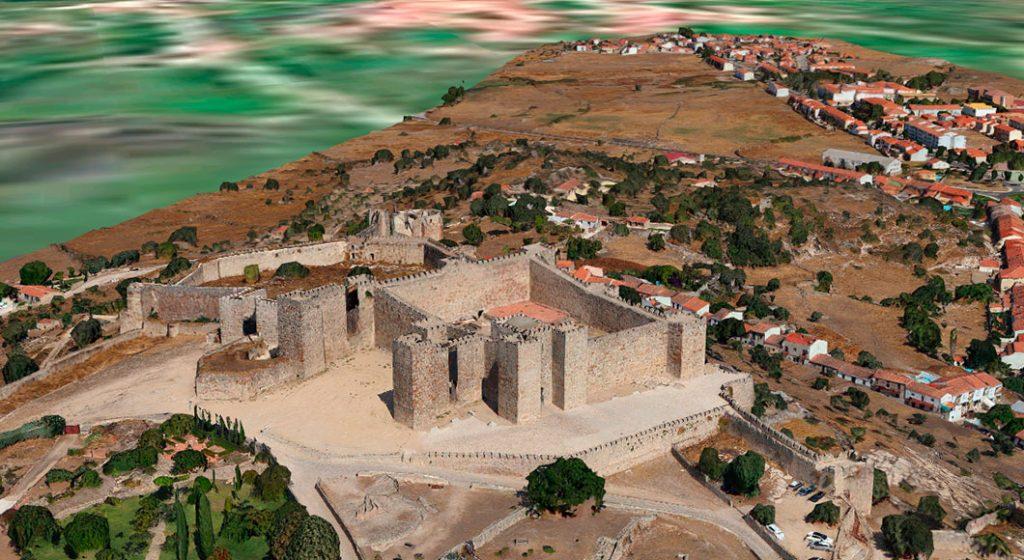
Process your data faster
Stay ahead of the competition with cutting edge technology to create 3D meshes, orthophotos, point clouds and elevation models.
PhotoMesh handles projects of any scale efficiently and can also leverage clusters and cloud services to increase processing speed, running tasks in parallel on hundreds of computers.
oblique
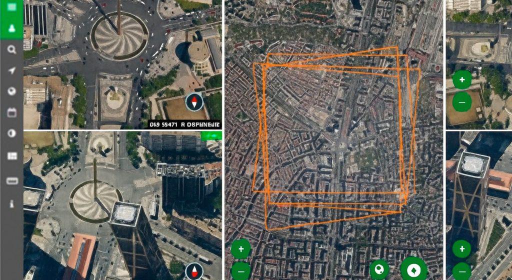
Publish your projects on the web privately
Take advantage of the power of Obliquo to publish your data and offer your clients a visualization and analysis tool without installing software, accessible from anywhere. You only need a modern web browser for interactive viewing without plugins.
terraexplorer
Make a difference in your deliveries
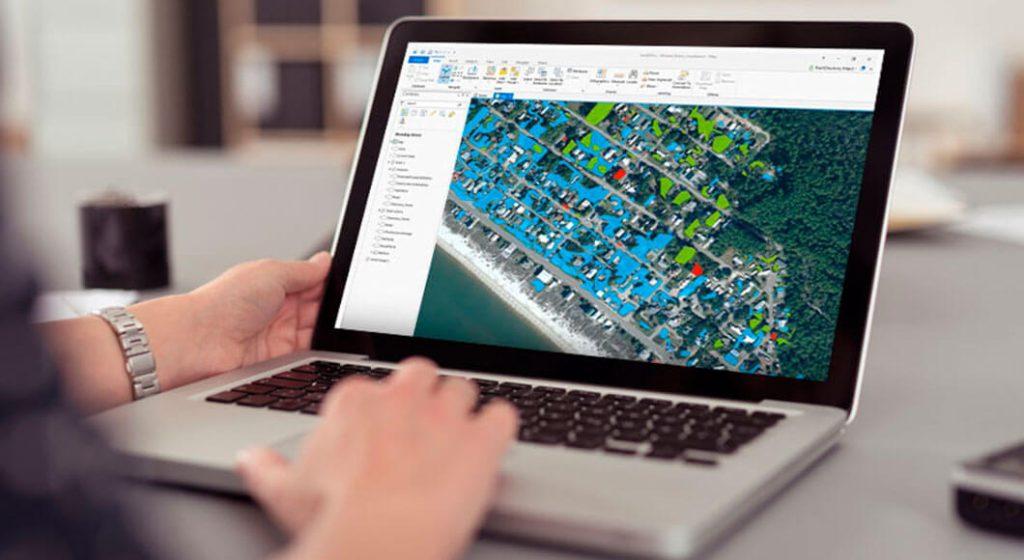
Deliver the data of your project in a 3D scenario that integrates all the information generated and export it in a Terra Explorer kit.
Terra Explorer kits can be distributed to external users via any storage device and provide a powerful visualization and analysis tool.