
ARCHITECTURE, ENGINEERING AND CONSTRUCTION (AEC)
We integrate BIM and GIS for a total technical vision.
3D MODELING OF LAND AND STRUCTURES
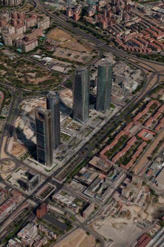
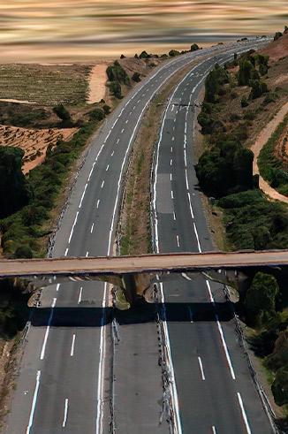
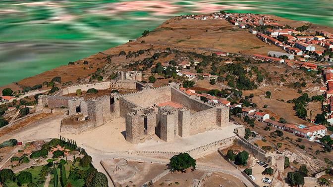
We make precise three-dimensional representations that facilitate the design and planning of infrastructure, allowing challenges and opportunities to be identified from the initial phases of the project.
BIM-GIS Integration
We integrate geospatial information (GIS) into BIM environments to provide a complete and accurate territorial context to each project.
This allows architects, engineers and designers to make more informed decisions, analyzing the real impact of infrastructures on their environment, improving coordination between disciplines and reducing errors of work.
Management of digitized assets
DIGITIZE AND MANAGE LARGE VOLUMES OF DATA FROM YOUR BROWSER.
Our online platform allows you to store, publish, manage and view unlimited volumes of data easily in any modern web browser, with the aim of digitizing all this information.