

The world on your screen
Unleash the power of 3D mapping and take your projects to the next level with cloud-based solutions, accessible from anywhere in the world.


GEOSPATIAL SOFTWARE
Obliquo: the new dimension of geospatial software
Obliquo creates 3D software solutions for GIS experts, developers and end users, providing advanced intelligence tools visual for projects and applications.
Our cloud geospatial platform is designed to respond to the demand for collaborative geographic information solutions and global.

Modular Solutions Adapted to Your Needs
Today we use different technologies to capture and model the world around us, obtaining multiple types of data. Obliquo can manage all of them in a single environment and provides the best tools for each type of data.

Aerial
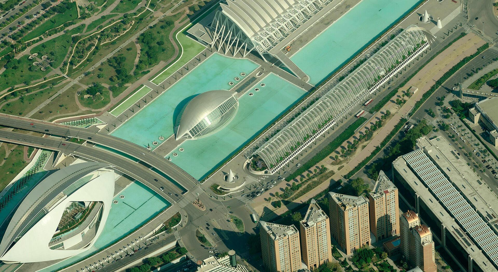
The nadir and oblique images, the point clouds and orthophotos expand traditional 2D capabilities and enable analysis 3D in a fully supported environment.

Street
panoramic and spherical imaging can be seamlessly combined with mobile LiDAR mapping for integrated street-level navigation experience.

3D
Obtain a common framework for understanding complex reality scenarios, fully in 3D in a virtual world.