
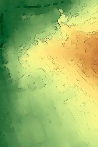
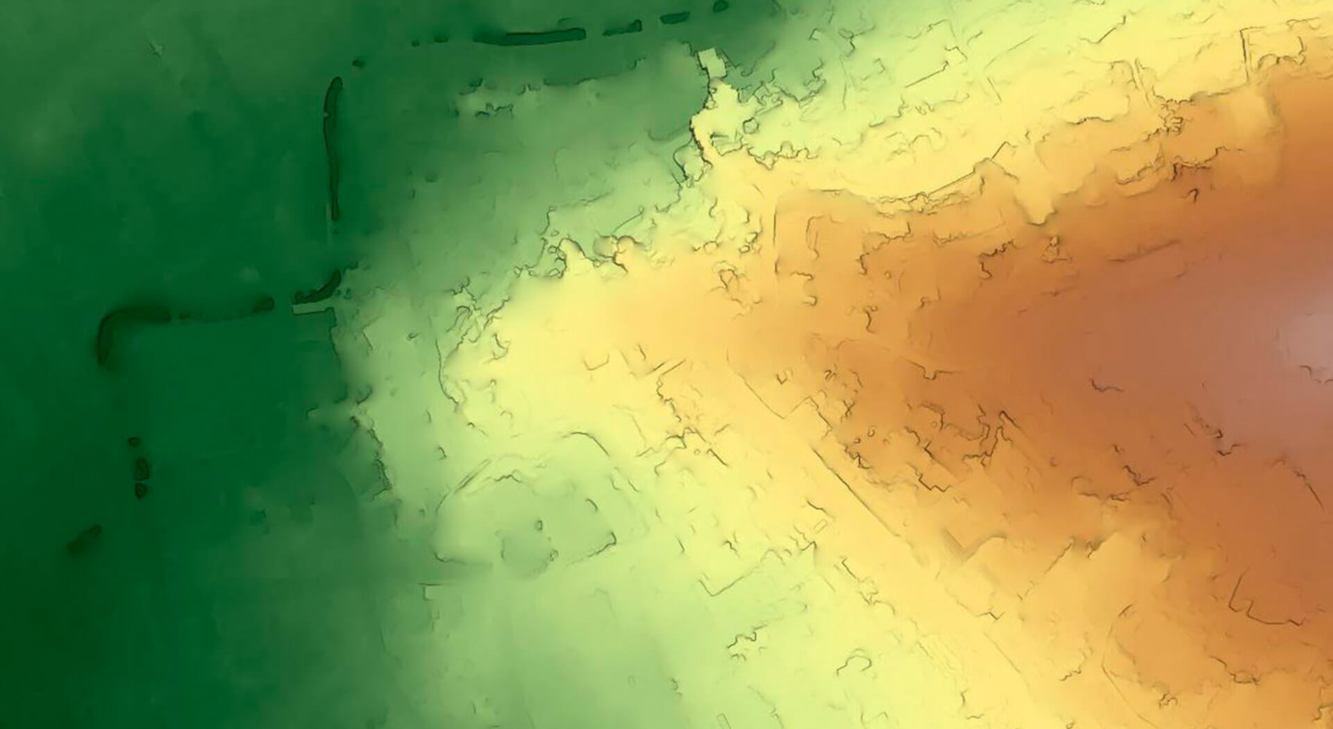
Digital representation of the topography of a geographic area, excluding buildings, vegetation and surface objects.
It is composed of a point mesh with 3D coordinates that describes the terrain variations, allowing geospatial analysis such as slope calculation, profiles topographical, hydrological simulations and visibility studies, fundamental for the territorial planning and civil engineering.
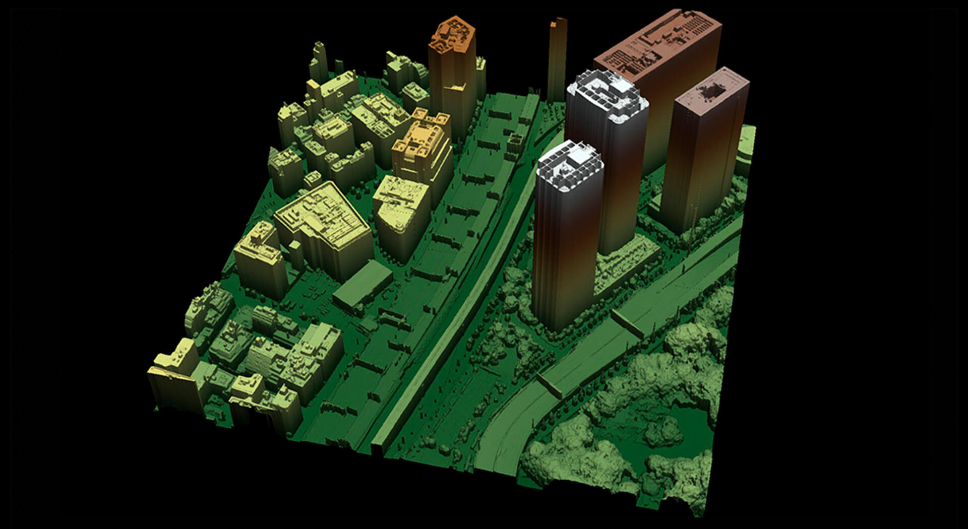
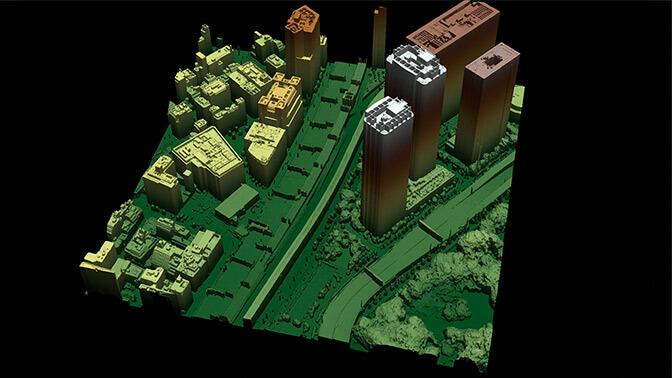
Digital representation of the height of all elements above the ground, providing a complete panorama of the landscape as presented, essential for analysis urban planning, vegetative cover and infrastructure planning.
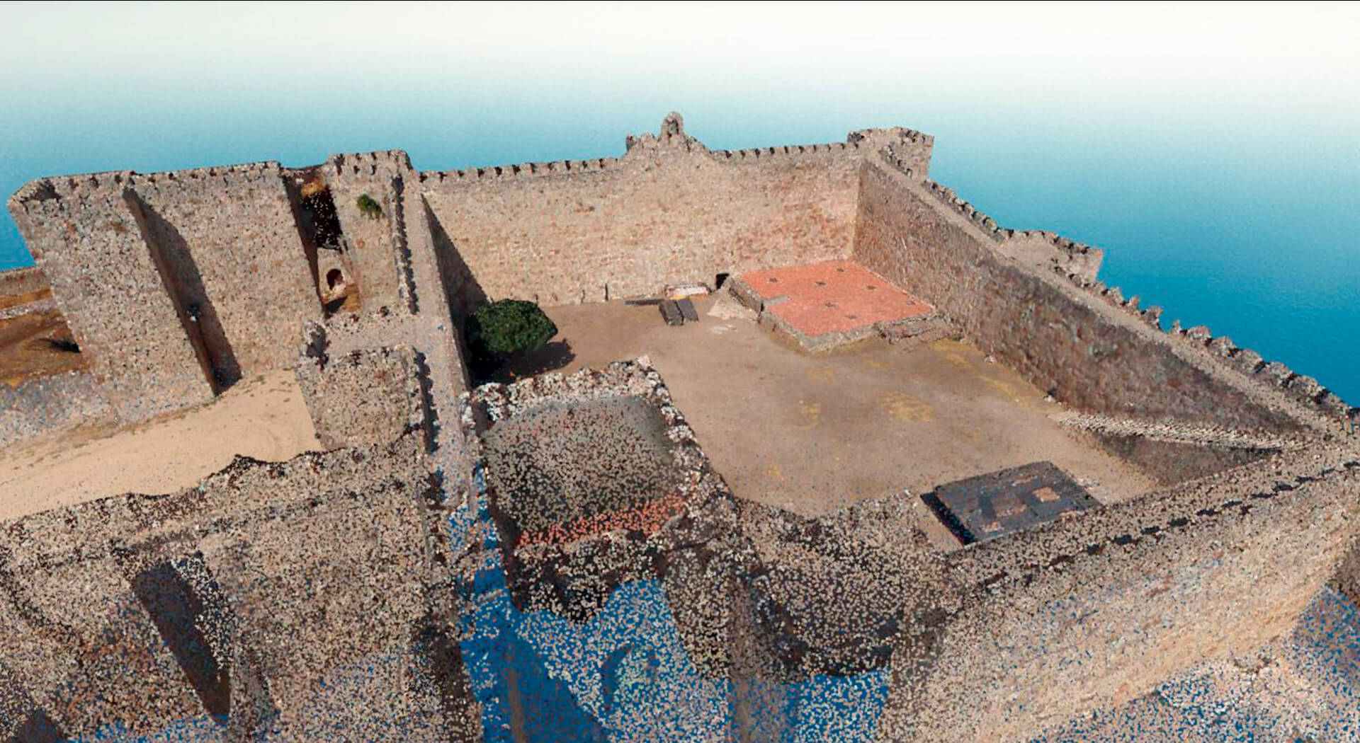
A point cloud is a 3D representation composed of millions of points with coordinates XYZ that reflect the surface of an object or terrain.
It is generated by photogrammetry or laser scanners (LiDAR) and allows capture the environment with great precision. It is very useful in surveying, archaeology, engineering and environmental management.
Facilitates detailed analyzes, accurate measurements and modeling of the physical space.
3D model created with photographic images representing shape, texture and color.
Offers great visual realism of the environment, as seen in reality. Very useful in simulations, augmented reality, architecture and urban planning.
Allows to view projects with immersion and precise spatial understanding.
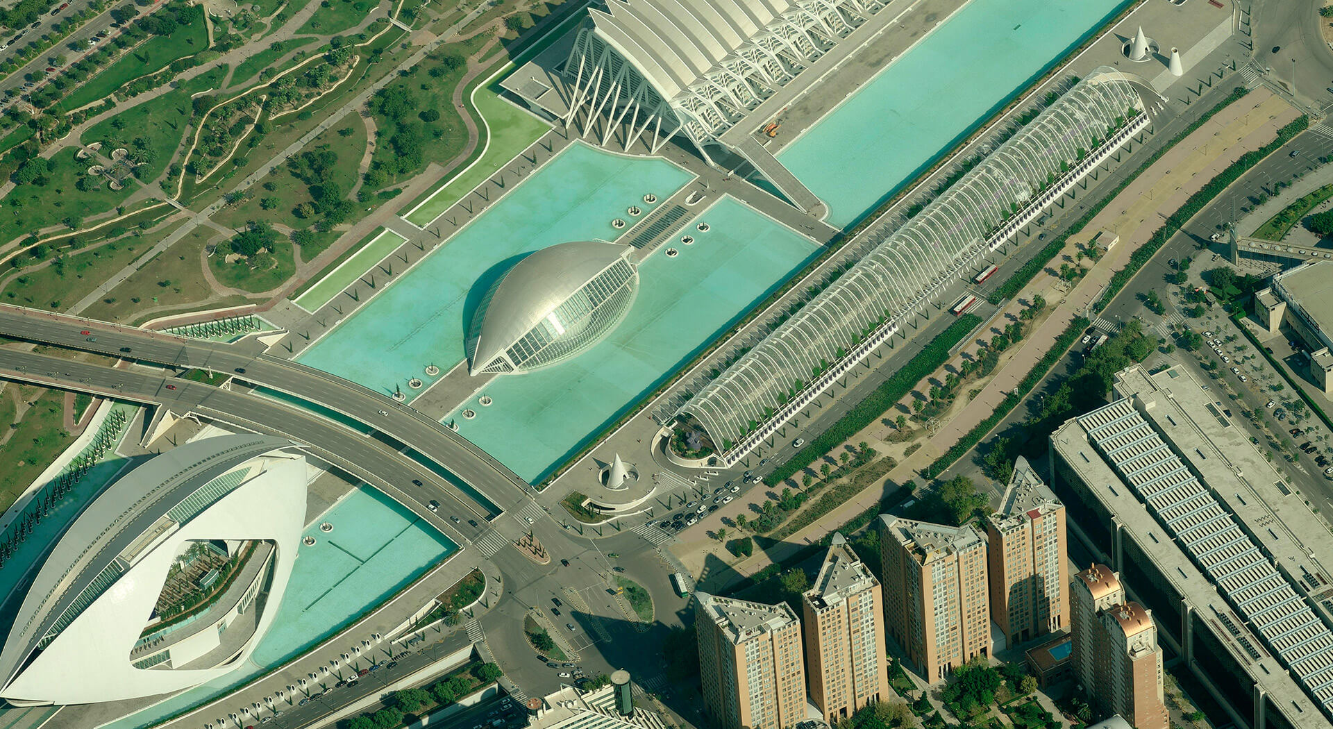
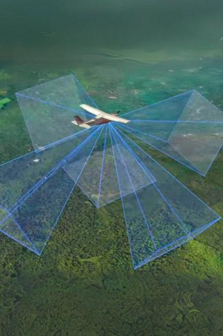
aerial images can be nadiral (vertical) u oblique (angled). nadiral are useful for cartography and measurements precise.
The oblique provide lateral perspective and context urban or natural. Both are key in planning, environmental studies and management risks.
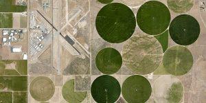
Aerial image corrected to remove relief and camera distortions. It is equivalent to a map with metric precision at each point.
Allows you to work with exact geographic coordinates. Ideal for spatial analysis and precise measurements.
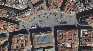
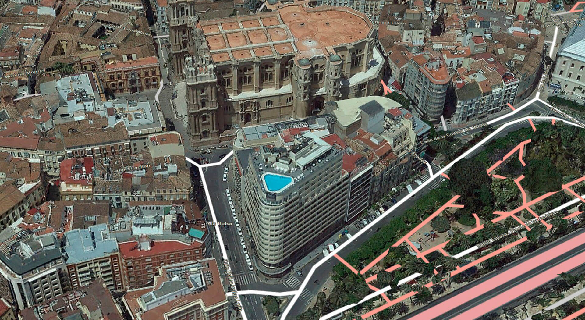
Aerial image with metric precision and real perspective. Shows both the ground and the façades of buildings and structures high.
Improves understanding of the urban environment with greater visual detail. It is more precise than a traditional orthophoto for spatial analysis.