
3D VOXEL SOLUTIONS
Specialists in personalized solutions
There are popular tools on the market such as Google Maps, but at Voxel 3D we offer a totally different approach, designed for business and professional needs.
Precision and Level of Detail
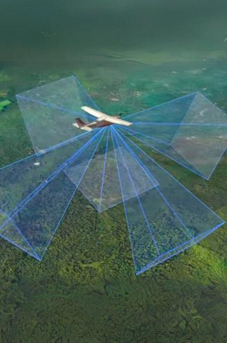
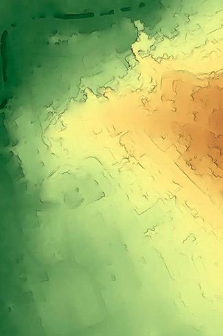
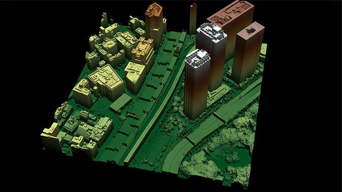
While Google Maps provides general terrain information, Voxel 3D works with high-resolution geospatial data, detailed 3D models, and specific geotechnical analyses.
Custom and specific data
Voxel 3D generates data adapted to the needs of each client, incorporating key variables such as topography, infrastructures or soil dynamics.
We not only visualize data, but apply artificial intelligence and advanced algorithms to analyze patterns, simulate scenarios and provide strategic insights.
Advanced Geospatial Analysis
Custom data update
SAVE TIME AND MONEY
Google Maps is updated periodically for general uses. Instead, Voxel 3D captures and updates data based on specific projects, ensuring up-to-date and relevant information.
Integration with Professional Tools
Our solutions can be integrated with design, engineering and urban planning software.