
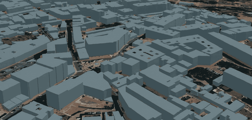
3D representations of plots and buildings
The 3D renderings have transformed the way in which they are analyzed, designed
and manage plots and buildings. Compared to traditional plans, these
solutions allow you to visualize the environment with greater precision, better understand the
spaces and make more informed decisions in sectors such as architecture,
urban planning or engineering.
Thanks to the evolution of geospatial technology, today it is possible to obtain models
three-dimensional images that integrate real terrain data with detailed information of
buildings, providing a complete view of the environment.
What are 3D representations and why are they
important
3D representations consist of the creation of digital models that
faithfully reproduce the shape, dimensions and characteristics of plots and
buildings. These models not only show the visual aspect, but also
incorporate relevant technical information.
Unlike two-dimensional plans, 3D allows us to understand volumes,
heights, slopes and spatial relationships in an intuitive way. This is
especially useful when working on complex projects where precision is
key.
In addition, these representations facilitate communication between different
professionals and with the end client, as they allow the project to be visualized in a
clear and realistic way.
Applications on plots and land
In the case of plots, 3D representations allow the terrain to be analyzed with a
high level of detail. It is possible to study the topography, identify unevenness, evaluate
accesses or understand how a future construction will integrate into the environment.
This is essential in the initial planning phases, as it helps to detect
possible limitations or advantages of the terrain before starting any project.
It also allows you to compare different design options and choose the most appropriate
depending on the context.
Building modeling
When it comes to buildings, 3D allows representing both existing
structures and projects in development. This facilitates the visualization of the building in
its real environment, taking into account its relationship with other constructions, the
orientation or the incidence of light.
Three-dimensional representations help anticipate results, reduce errors
and optimize the design before execution. In addition, they allow precise measurements
to be made and technical aspects to be analyzed more easily.
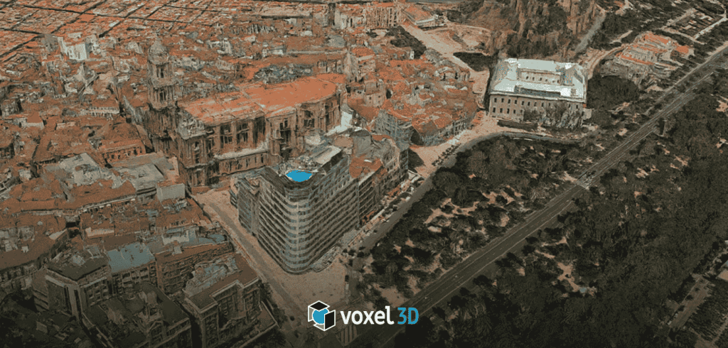
Integration with geospatial technology
One of the great advances in this area is the integration of
3D representations with geospatial data. This allows each model to be located in
its real position, incorporating coordinates, information about the environment and
territorial variables.
This combination is especially useful in sectors such as urban planning, the
environment or Smart Cities, where it is necessary to understand not only the building
itself, but its interaction with the territory.
Geospatial innovation at the service of projects
In 3D Voxel, we work to make 3D geospatial technology accessible to
all types of sectors. Our solutions allow you to create 3D representations of
plots and buildings accurately and efficiently, helping to optimize processes
and improve decision making.
Thanks to our experience, we make it easy to obtain digital models that
combine advanced visualization with data useful for analysis and planning.
This allows companies and professionals to work more safely and reduce
uncertainties in their projects.
A key tool for the present and the future
3D representations are no longer an option, but a fundamental tool
in the development of projects related to territory and construction. Their
ability to integrate information, improve understanding of space and anticipate
results makes them an essential resource.
In an environment where precision and efficiency are increasingly important,
betting on solutions such as those offered by Voxel 3D allows us to move towards more intelligent and sustainable
management of plots and buildings.