
Geospatial AI
Geospatial AI is changing the way we understand territory. Today, thanks to the combination of spatial data and artificial intelligence, it is possible to analyze surfaces, detect patterns, anticipate changes and make faster and more accurate decisions. This technology, which was previously only available to large mapping or research organizations, has now become accessible to companies in virtually any sector. At Voxel 3D, we work precisely to bring geospatial innovation closer to those who need clear, profitable solutions that are easy to integrate into their daily activity.
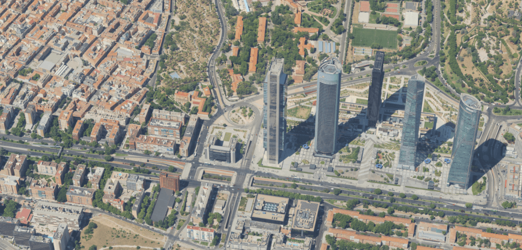
AI applied to geospatial data allows us to obtain information that would be impossible to analyze manually. Each aerial image, each point cloud and each 3D model contains thousands of details that, intelligently interpreted, can improve architectural projects, optimize environmental resources or facilitate urban planning. The value is not just in capturing data, but in understanding it.
What geospatial AI can do
By integrating artificial intelligence algorithms into spatial data processing, the door opens to automated and much more precise analysis. For example, AI is capable of identifying changes in terrain over time, detecting unregistered constructions, recognizing vegetation, estimating volumes or distinguishing materials. All this with a speed that is difficult to match by conventional human analysis.
In sectors such as engineering or construction, it means being able to anticipate risks and reduce errors in early phases of the project. In the environmental field, it allows measuring the real impact of an intervention, controlling the evolution of an ecosystem or detecting anomalies that require immediate attention. For cities, it is a key tool to plan in a more efficient and sustainable way.
How do we apply it?
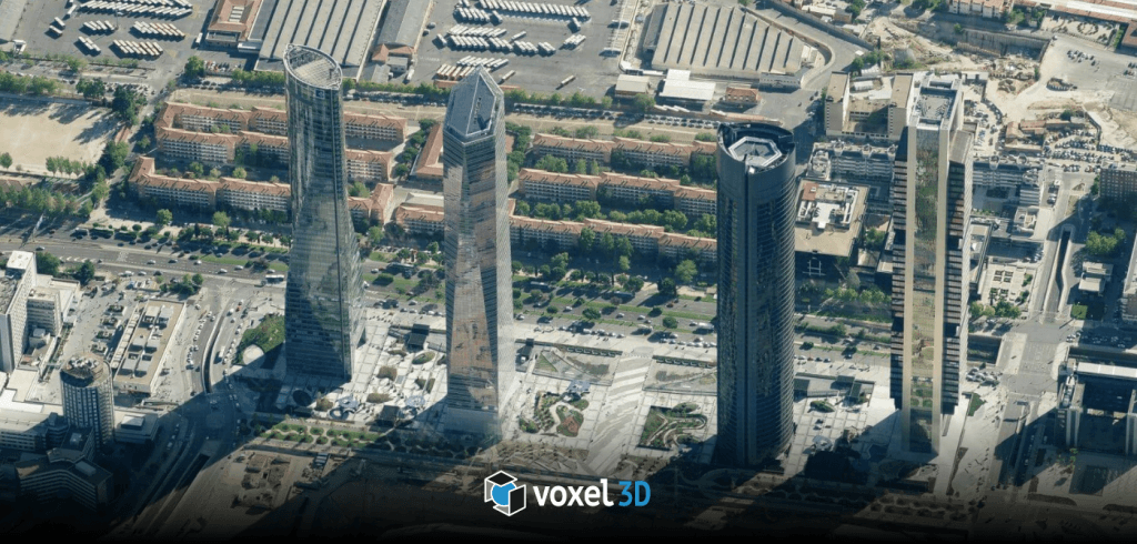
In Voxel 3D, AI is not an abstract concept, it is a tool that is part of everyday life. We work with 3D models, orthophotos, cartography and data captured by advanced sensors. From that base, we implement algorithms capable of analyzing the information and drawing useful conclusions for each client.
Our goal is always the same: convert complex data into clear decisions. Geospatial AI allows us to accelerate processes, reduce costs and offer information with a level of accuracy that significantly improves the planning and execution of projects in all types of sectors such as architecture, heritage, renewable energies, urban planning, tourism or smart cities.
A technology that expands possibilities
Artificial intelligence applied to the geospatial field does not replace professionals, but rather enhances their work. It allows you to detect details that may go unnoticed, analyze large areas in a short time and generate predictive models that help anticipate changes or trends.
Thanks to this technology, a company can make decisions based on reliable data, updated and compared over time. And that translates into safer, more sustainable and much better planned projects.
The Geospatial AI is a decisive tool for the future of territory management. In 3D Voxel, we work so that any company can take advantage of its potential in a simple and profitable way.