
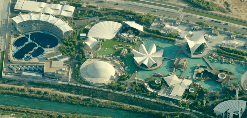
Geospatial Data, what it is and what it is for
Geospatial technology has established itself as a fundamental tool that allows obtaining, in a simple and precise way, varied and necessary information. It is a technology that facilitates the capture, measurement and analysis of data with high precision. It goes beyond traditional cartography, allowing you to create 3D maps, make exact measurements and specify coordinates, capture images, track and compare evolution over time.
Voxel 3D is a company specialized in 3D geospatial management software, offering personalized solutions that adapt to each client. Thanks to the integration of Geospatial Data, Geospatial Software and Geospatial AI, Voxel 3D turns this data into profitable solutions for business.
Understanding the geometry of the data
When we talk about three-dimensional geospatial data, we are referring to digital representations that capture the physical environment in great detail and precision. These data are the basis of cartographic products that are tailored to each project.
There are, in this sense, several key formats:
- Digital Terrain Model: It is a digital representation of the topography of a geographic area, excluding surface elements such as buildings or vegetation. It is made up of a mesh of points with 3D coordinates that describe the variations of the ground.
- Digital Surface Model: Unlike the previous one, this one provides a digital representation of the height of all elements above the ground, offering a complete panorama of the landscape as it appears in reality.
- Point Cloud: It is a high-precision 3D representation composed of millions of points with XYZ coordinates, which reflect the surface of an object or terrain. It is generated by photogrammetry or laser scanners and is very useful for detailed analysis and exact measurements in surveying and engineering.
To obtain these models, Voxel 3D has an extensive collection of aerial images and related products, which are updated regularly and are available in detailed resolutions such as 7.5 cm GSD for urban areas.
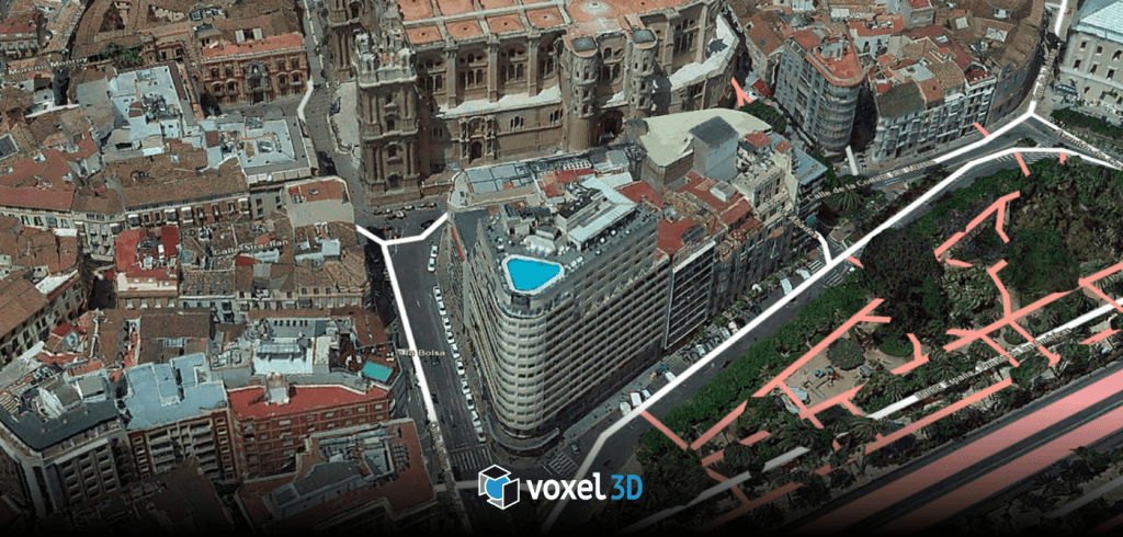
Limited applications and specific benefits of Geospatial Data
Geospatial Data technology is fundamental not only in navigation and the environment, but is now within the reach of any company to optimize processes, reduce costs and make more informed decisions. Geospatial data serves as the digital infrastructure for a wide variety of sectors:
- Architecture, Engineering and Construction (AEC): allows the integration of BIM and GIS for a total technical vision, facilitating 3D modeling of structures and land. 3D models are crucial because they allow problems to be foreseen before the execution of a project and minimize uncertainty by providing real and updated information.
- Smart Cities: 3D context is essential to interpret urban data, helping to visualize and disseminate information for efficient urban planning.
- Environment and Renewable Energy: digital models facilitate geospatial analysis, such as slope calculation or hydrological simulations, essential for territorial planning and sustainable decisions.
- Cultural Assets and Tourism: geospatial technology allows the conservation of heritage through 3D models and digital recreations of tourist spaces, allowing immersive experiences and detailed study.
- Urban Planning and Real Estate Sector: this data allows 3D representations of plots and buildings, helping in impact simulation and efficient planning of urban growth.
3D Voxel focuses on demonstrating that small and medium-sized companies can also benefit from these scalable and accessible solutions, boosting their projects with the full potential of Geospatial Data.
Back to news